Earth Observation: gathering of information about Earth’s physical, chemical and biological systems using remote sensing technologies.
With EO technologies, we can monitor the status and the changes that occur in the environment, either due to natural causes or due to the human interventions and activities.
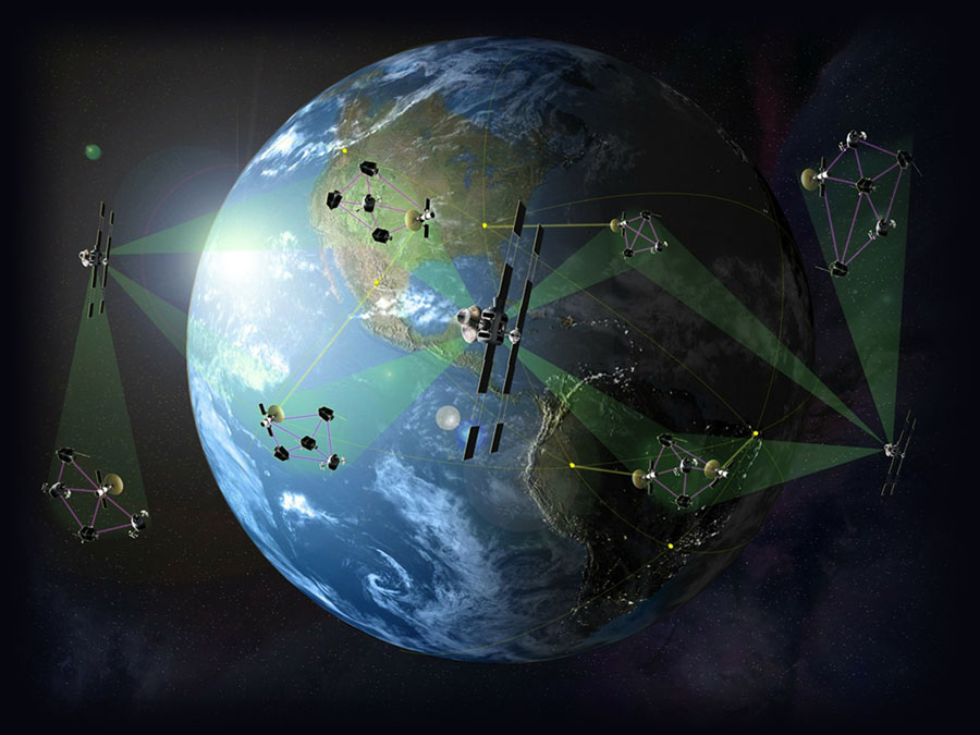
Space-based technologies deliver reliable and repeat-coverage datasets, from which, with appropriate methods, researchers and engineers can extract useful information concerning our planet.
ATOP gathers together Romanian expertise in deciphering EO data and providing information that can be a solid basis for decision making in sustainable development, protection of the environment and disaster management. Our members apply Artificial Intelligence and Machine Learning technologies to most benefit from all the information hidden within the data.
Different application domains benefit from EO data, building a digital age knowledge society and economy.
-
Safety / Security / Disaster Monitoring / Risk Assessment/ Insurance
-
Ocean Monitoring: Marine and Maritime / Coastal Zone Management / Fisheries and Aquaculture
-
Public Health
-
Urban Development / Smart Cities / Cultural Heritage

About ATOP
ATOP, the Romanian cluster for Applications and Technologies for Earth Observation is gathering together national organizations having expertise in Earth Observation, acting as a nucleus to coagulate relevant capacities and achieve a critical mass of expertise and initiatives, to promote, support and further develop the EO capacities in Romania.
Strong links
ATOP aims to create a strong link between EO technologies providers (data acquisition, processing, integration, analysis, information extraction and visualization) on one hand and decision makers and users on the other hand.
How it started
ATOP was built based on RO-CEO (Romanian Cluster for earth Observation), set-up in the frame of the Space Technology Advance Research (STAR) programme in 2016. Most of the partners involved in the initiative are now full members of ATOP.
Misson
ATOP’s mission is to become a network of EO organizations, bridging institutions and customers, linked to each other in a value-adding production chain.
ATOP’s members are committed to show how EO applications turn data into knowledge for progress, wellbeing, efficiency, security and resilience, answering needs and important challenges in vital sectors:
Science and Technology Innovation
Social Development
Business and Economics
Security and Defense
Technologies
EO applications process and ingest Geospatial data using a wide spectrum of technologies:
- Remote Sensing and Measurement
- Multispectral Imaging
- Detection, Geolocation and Tracking
- Recognition and Identification
- Big Data
- Data access, management and processing platforms
- Digital twins
- Sensors, imagers and detectors used to produce the raw data can be fixed or mobile, ground based, fixed or mobile (vehicle mounted on manned or unmanned vehicles).
- Manned platforms can be carried by land vehicles, aircraft, naval ships, submarine vessels or manned space vehicles.
- A wide range of unmanned vehicle platforms can be used to host sensing equipment, such UGV’s, UAV’s and UUV’s as well as unmanned spacecraft or satellites.
ATOP Members
Members
-
National Institute of R&D for Optoelectronics (INOE) through the Remote Sensing Department has multidisciplinary expertise spanning from laboratory/in-situ chemical analysis to Earth Observation (EO) techniques and applications. It contributes to the joint European and global climatological database as part of international networks (EARLINET, AERONET, MWRNET, ACTRIS), coordinates the Romanian Atmospheric 3D research Observatory (RADO), leads the Romanian initiative for ACTRIS research infrastructure ACTRIS-RO, and embeds the Centre for Atmospheric REmote Sensing and Space Earth observation, CARESSE.
-
National Institute for Earth Physics (INFP) is responsible for the seismic, geophysics and geodetic monitoring of the Romanian territory. It has a wide background in basic and applied research in geophysics and atmospheric sciences, with focus on seismic source and seismotectonics, seismic hazard and risk assessment, engineering seismology and earthquake prediction. INFP is now one of the 8 main nodes of EIDA (European Integrated Data Archive) that allows storage and exchange of seismic data between different significant European research infrastructures and is part of several european infrastructures, providing data for: MEMFIS, IOANE, INFREP, GNSS/GPS, EPOS.
-
National Institute for Research and Development in Forestry "Marin Dracea" (INCDS) is licensed for forest management planning, ecological reconstruction and watershed management, forest risk assessment, forest cartography, geodesics and photogrammetry, seeds quality and conservation, pesticides testing on behalf of forest certifying purposes. INCDS uses remote sensing data, mainly Landsat imagery, to study the forest vegetation, including automated image classification and to evidence ecosystems limits. Extended expertise related to the loss of forest vegetation due to windthrow or clearcutting, to the detection potential illegal logging into test area or to the forest management planning has been gained in the last years.
-
Institute of Space and Science (ISS) has been the leader of the Romanian research into the space sector carrying out fundamental and advanced scientific and engineering research in cosmic rays physics, high energy physics, astrophysics and the development of space technology and applications. The experience of the institute throughout its history covers all the fields of research from pure theory to data acquisition, processing and interpretation and from the drawing board to complex instruments for both space based and terrestrial applications of space assets.
-
University Politechnica of Bucharest (UPB) , CeoSpaceTech, part of the Faculty of Electronics, Telecommunications and Information Technology (ETTI), is a research center that has, as areas of competence, sensors and new remote sensing systems (e.g. experimental sensors and new RADAR methods), remotely sensed data processing (SAR signals) and data analysis. The center is involved in several applications related to remote sensing, like Global Monitoring for Environment and Security (GMES), continental - oceanic - atmospheric - emergency and security - climate change, surveillance and reconnaissance.
-
Terrasigna is a Romanian SME active for more than 16 years in the Earth Observation domain, with national and international recognition as customized geospatial services provider. The company has extensive expertise in EO satellite technologies and Thematic Exploitation Platforms for domains like agriculture, forestry, critical infrastructure, insurance, marine / coastal environment, urban monitoring and so forth. The clients portfolio comprise national authorities, national space agencies, European Space Agency, international financial institutions and private customers.
Terrasigna is part of different European associations that contribute to the European policies and strategies related to EO (e.g European Association of Remote Sensing Companies, Big Data Value Association). -
World Professional Technologies SRL is a leading system integrator in Romania and a growing player in the CEE and MENA regions, bridging that gap between business and technology. The company constantly invests in technologies such as GIS (Geographic Information Systems), Robotics systems, Earth Observation, SCADA (Supervisory Control and Data Acquisition solutions) and Cloud, aiming to generate a sustainable long-term evolution of our society. With 15 years of activity, Teamnet has experienced an accelerated development in almost every aspect of its business. The Group has begun the regional expansion in 2010, relying on its strong expertise in Software, Systems Integration and Consulting, helping public and private organizations to increase their competitiveness in the CEE and MENA regions. Having offices in 7 countries, Teamnet Group gathers 800 experts with thousands of team certifications, covering various industries such as Emergency, Cadaster, Pensions, Labor, Consular Services or Agriculture. Alongside International Finance Corporation - World Bank Group Member - and Black Sea Trade & Development Bank, Teamnet's strategic and financial partners, the Group plans to enhance the growth potential in international markets. Teamnet is recognized as one of the fastest growing businesses in its field, being included in Deloitte's regional rankings.
Become a member
Join us
Do you operate state-of-the-art facilities? Do you have a team of experts in one or more fields of Earth Observation? Do you want to do business with ESA? Are you interested on developing your economic activities by making use of the huge potential of Earth Observation data and services? Join us now!
Please fill in the application form. Sign it and send it to InfoATOP@atop.ro
An ATOP staff will get in touch with you
The application will be reviewed by the Board of Directors for final approval
For any question feel free to contact us: InfoATOP@atop.ro
Our partners
Partners
Since Ro-CEO, Romanian organizations expressed their interest in collaborating with the cluster for developing a sustainable EO sector at national level.
Contact Us
Feel free to contact us
Location:
3 Logofat Luca Stroici Street, 020581, Bucharest, Romania
Email:
InfoATOP@atop.ro
Call:
+40 21 313 33 14
View Larger Map